The Get Directions feature enables you to get directions on the map. After selecting a starting point, you can select other points on the map through which you want to travel. The last point you select, being your final destination point.
Use the Calculate Distance icon to get the distance between 2 points on the map.
To get directions on the map:
-
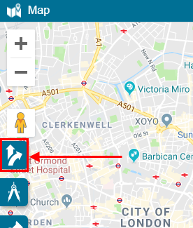
On the Map, click the Get Directions icon.
The Get Directions popup appears on the map.
-
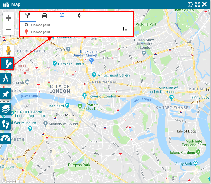
In the Get Directions popup, enter the start and destination points using one of the following methods:
- Click the start and destination points on the map
- Type the start and destination addresses
- Type the names of the starting and destination places

-
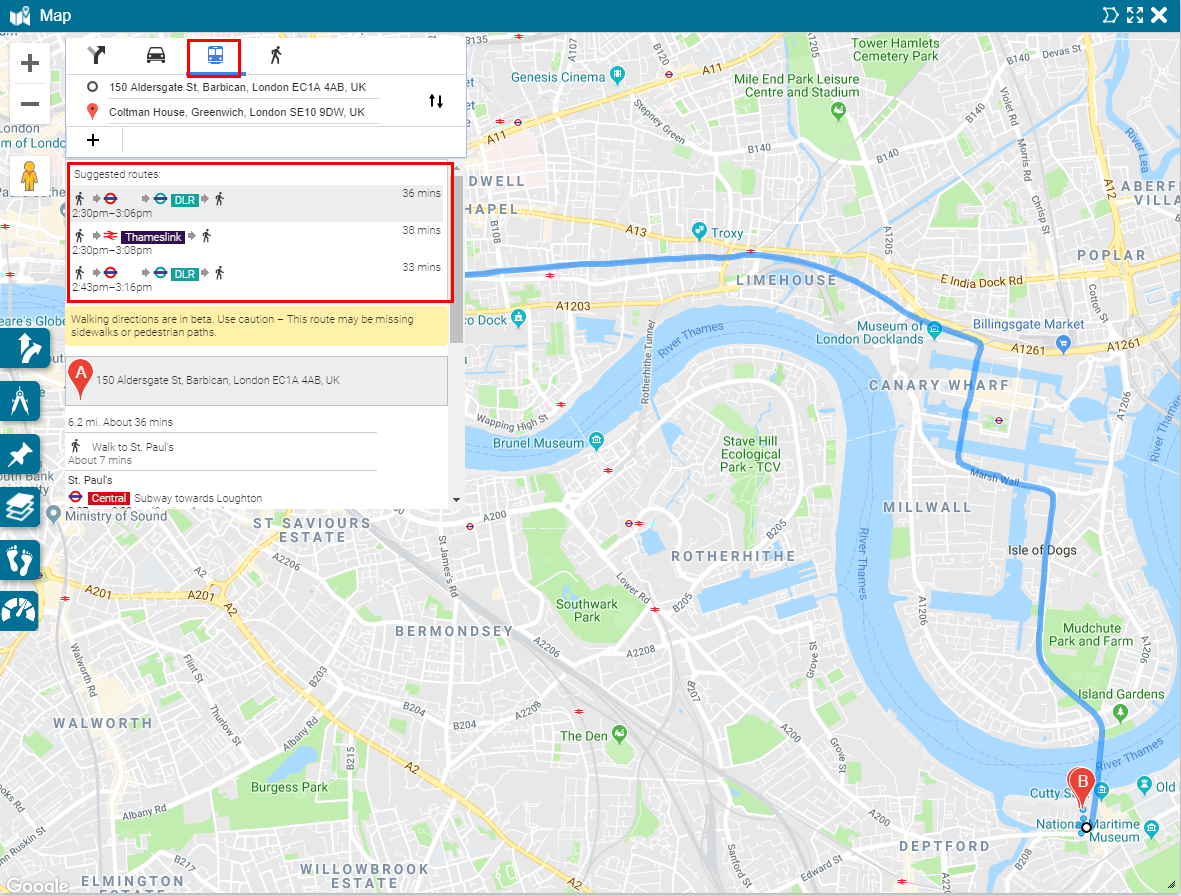
The best route to your destination is shown on the map in light blue. It is also listed as the first of the suggested routes in the Get Directions popup. To change between suggested routes, click on the desired route in the list.
- To add additional destinations, click the + sign on the left side of the Get Directions popup.
- To change the order of your destinations, click the ⇅ on the right side of the Get Directions popup.
-
Choose the driving, transit, and walking directions can be selected by clicking on the corresponding icons at the top of the Get Direction popup.
For transit, alternative modes of transport are suggested.